It’s been a while since I kept a trip journal, but here we go again! I enjoy writing these, but the past few years have been…crazy…to say the least. We have still taken the trips, but we have both been so emotionally exhausted from COVID and losing Becky’s mom that I haven’t kept a journal. I have also had some health problems that have dampened my energy quite a bit. So rather than focusing energy on sharing our trips, we’ve focused on just decompressing and living more in the moment.
So this trip breaks some new ground for us by way of old ground.
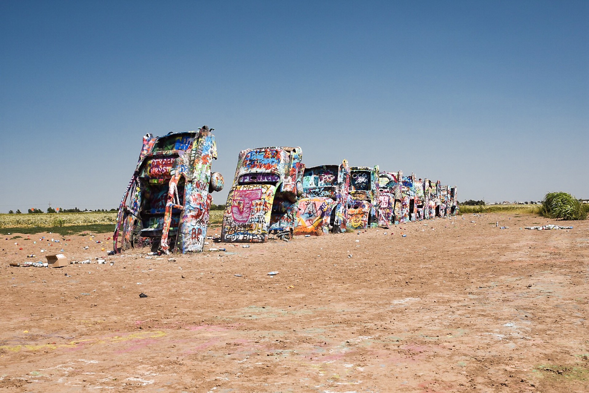
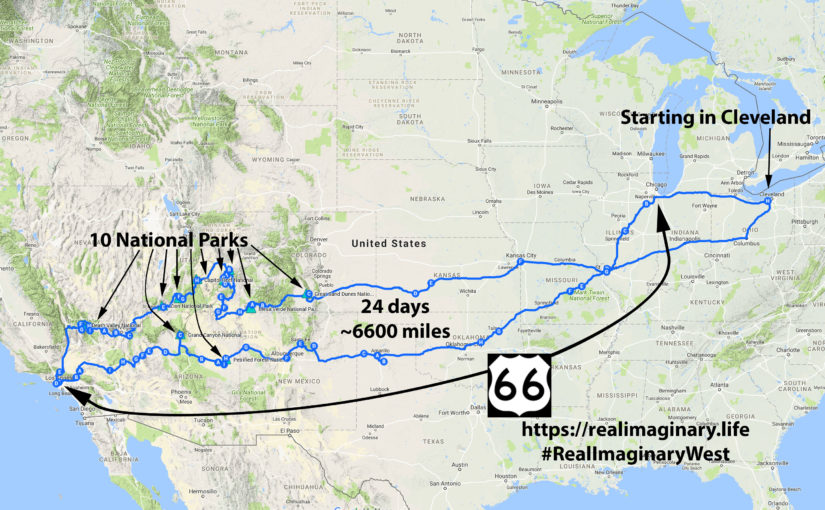
Last year we finally made it to Texas outside of the Panhandle along Old Historic Route 66, and obscure reaches between Guadalupe Mountains National Park and Lubbock. I got my first taste of Texas barbecue—consider me hooked! And who knew the TexMex would also be great? We also had plans to camp at Big Bend National Park way out in West Texas, but we nixed it because it was May, and that’s the start of the tropical stormy rainy season. We will be returning to a hopefully dryer Texas to see more of Austin and the Hill Country to the West on the way to Big Bend, which will be our 44th U.S. national park.
In October 2021 we finally made it to the I-10 corridor to see Saguaro, White Sands, Carlsbad Caverns, and Guadalupe Mountains National Parks. We won’t visit those national parks this time, but we will see more sights along the I-10 corridor in Southern New Mexico and Arizona before heading up to Sedona and Las Vegas.
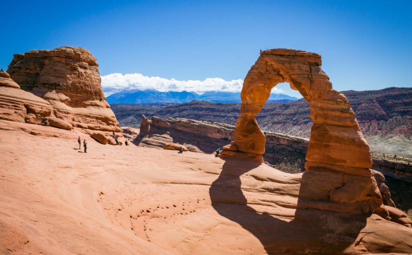
Finally, we will work our way up to one of our favorite campgrounds in our favorite national parks—Devils Garden Campground at Arches National Park in Southern Utah. I haven’t made a final decision on whether we’ll keep all 4 nights of our reservation or if we’ll give the first night back so we can spend a day working through Zion National Park and maybe stopping at the North Rim of the Grand Canyon.
From Arches we will cross the Rockies in Colorado in fall 😬 where hopefully there will be no snow…as we spend a night with Becky’s sister and brother-in-law in Denver before spending a night either in Missouri or Iowa on the way home.
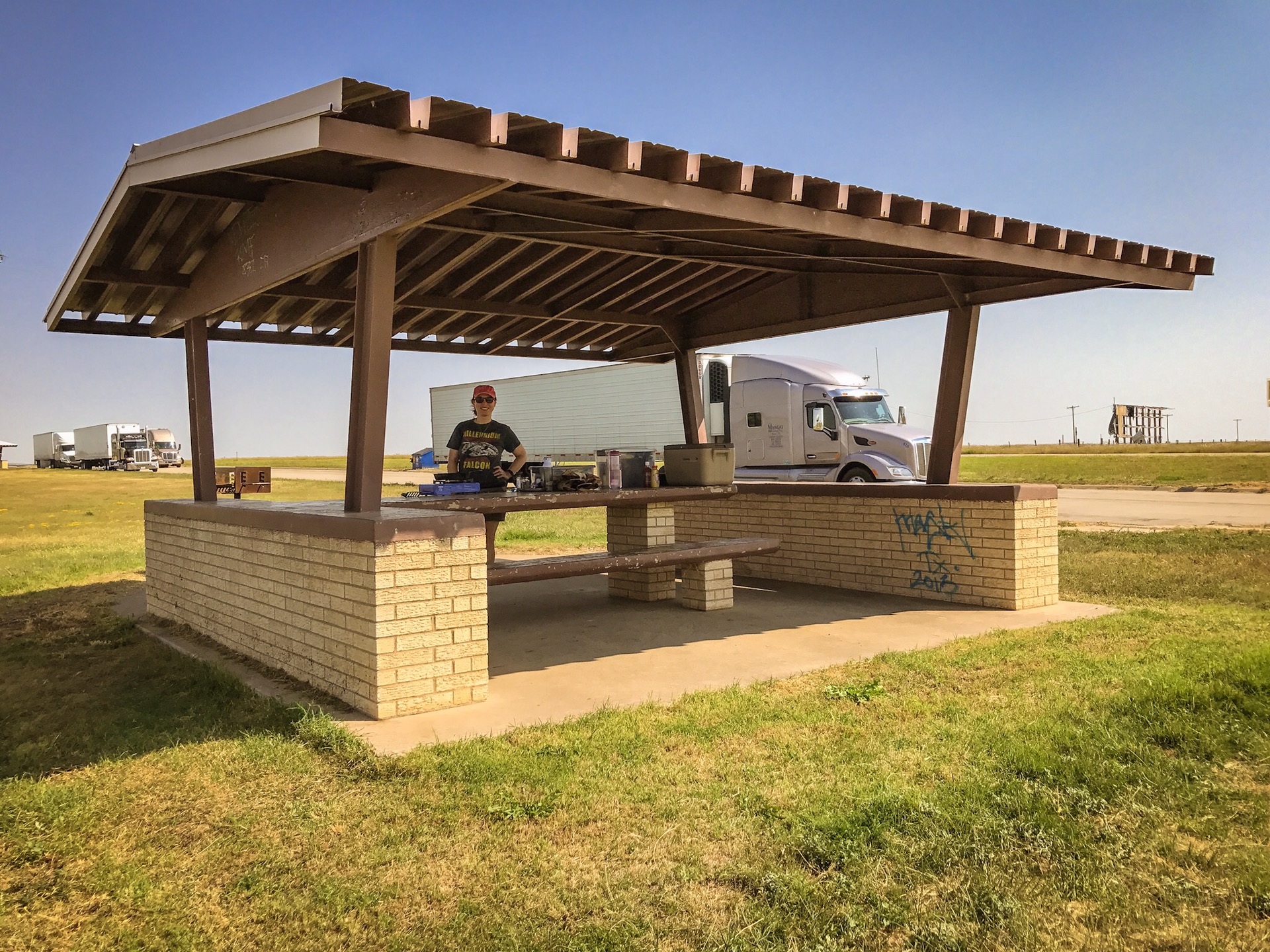
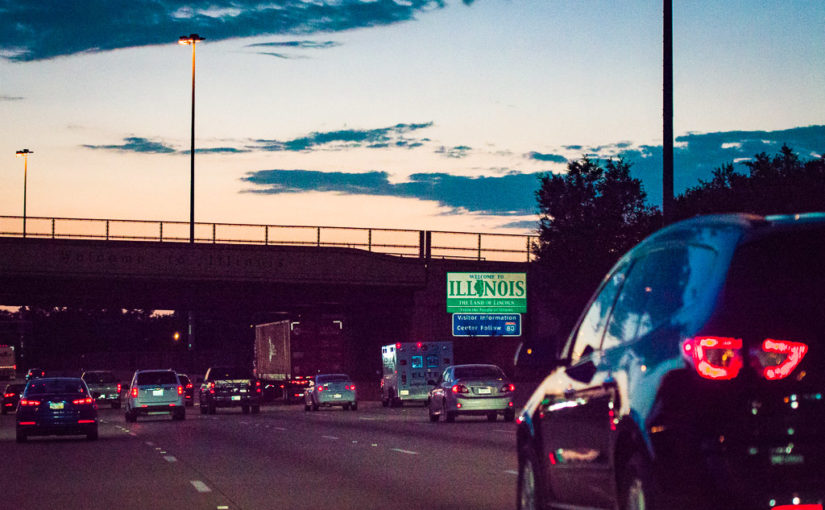
We got our start late yesterday, about 7:25pm Eastern Time. Our goal was to make it to a rest area around Effingham, Illinois for the night. Thankfully we did so around 1:15am Central Time. Why did we opt to spend a few hours sleeping in our car over sleeping in a hotel? Well, on the first night of our trips, we really only sleep and get right back on the road at sunrise…and hotels are astronomically expensive right now. So why spend $100, give or take, on a bed for a few hours when you can spend $0 and not have to unpack?
Speaking of cars, we aren’t in one of our little hatchbacks. We typically rent a larger sedan with a trunk—it gives us more room for our stuff, it gives more cover for our stuff with the trunk, and it puts the 6-7,000 miles of our trips on their car instead of ours for a pretty reasonable price. However, we had a terrible rental car experience for our trip last fall—that’s a whole other story about mechanical and customer service issues—but it has left us a bit traumatized after YEARS of great experiences. For this trip we have a basic but comfortable 2025 Nissan Altima. So far it has been mechanically sound, thank goodness, and it’s getting the great fuel economy we love. I swear they’ve shrunk the trunk though…our stuff just doesn’t fit as well as I remember…which is odd to me.
So that’s the start of our journey…next we’re on to the Laura Ingalls Wilder Historic Home in Mansfield, Missouri. Whats funny is we started our very first #RealImaginaryWest road trip with Laura…how fitting we start this trip, almost 10 years later with her.